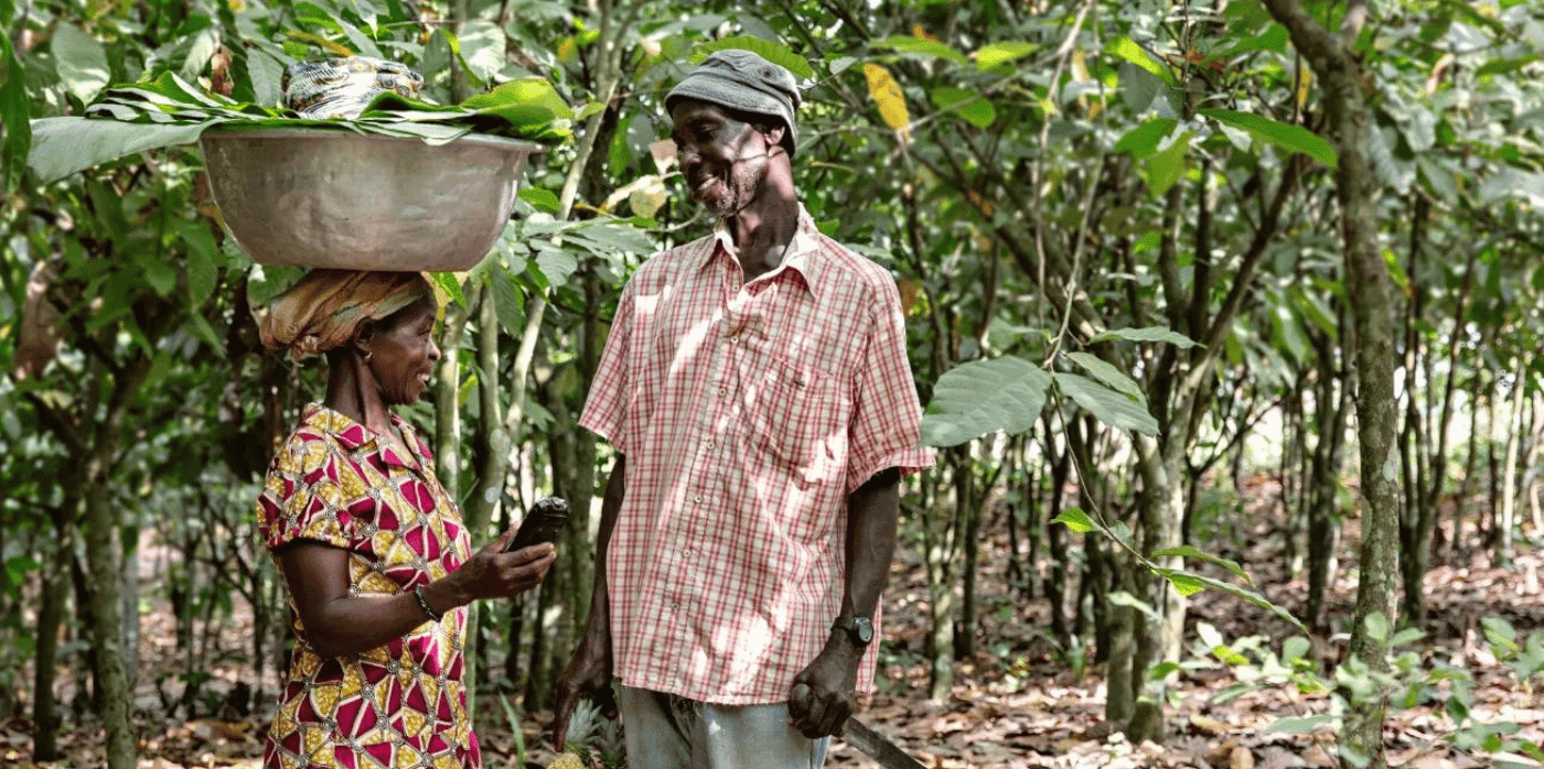
Spotted: Rainfall affects many aspects of a farmer’s work. Deciding when to sow seeds, where to pasture cattle and other animals, and when to harvest are some of the many daily, weather-dependent decisions farmers make. For smallholder farmers, a miscalculation leading to crop failure could severely impact an entire family’s health.
For farmers living in the tropical regions of the world, forecasts are often of little help as rainstorms come and go quickly and can be very localised. Seeking to make weather forecasting more predictable for these regions, Swedish technology company Ignitia has developed a new method. The results are proving to be far more accurate than current global climate forecast models, something that Ignitia achieves by focusing on hyperlocal climates and analysis based on high-resolution satellite imagery.
Ignitia’s forecasts are detailed enough to provide farm-level predictions, and because the company uses satellite data, they do not require information from ground stations – infrastructure that is frequently unavailable in tropical regions. For farmers, adjustments that range from when to move heavy machinery to when to hire additional workers have direct financial results.
The startup’s insights are available in four different packages, starting with a mobile app for seven-day weather forecasts that include wind, heat, rain, and humidity for a three-kilometre area. Ignitia Smart adds in customised alerts for farm-specific needs, suggestions for possible actions, and rainfall predictions up to six months in advance.
Ignitia API provides regular updates on the client’s platform of choice and allows larger producers, distributors, and others in the agricultural supply chain to better predict crop yield and forecast risks. The most substantial service the company offers is Ignitia Enterprise, gathering climate intelligence from multiple locations for business-wide insights and information for decision-making.
Satellites are helping farmers in a number of ways, with innovations featured in Springwise’s library including using imagery to help unbanked growers access loans and to provide real-time yield predictions.
Written By: Keely Khoury

