Mapping the sky to prevent planet-warming contrails
CategoriesSustainable News

Mapping the sky to prevent planet-warming contrails

Spotted: The white streaks that aircraft leave in the sky, known as contrails, account for almost 60 per cent of aviation’s climate impact. But up until recently, contrail prevention was deemed either too difficult or impossible. Now, however, Cambridge-based Satavia has created a technology that enables airlines to create flight plans that minimise contrail formation.

Using data analytics and AI, Satavia has developed a weather prediction model that can forecast the conditions that lead to the formation of contrails. The company’s tech platform, DECISIONX, harnesses and combines multiple environmental, weather, and aircraft data to provide insights into local conditions in the atmosphere anywhere, anytime. This system builds on Satavia’s 5-DX software, which acts as a ‘digital twin’ of the the earth’s atmosphere from surface to space.

The insights from DECISIONX enable flight planners to make decisions to minimise climate impact. For example, they may modify a flight’s altitude or route to avoid flying through parts of the atmosphere that technology indicates are prone to contrail formation. These changes need not be dramatic, as a lot of contrail damage can be prevented by even the slightest variations in a flight path.

The Satavia platform further enables organisations to validate contrail prevention and best practice, and the quantified climate benefit can be converted into ‘future carbon equivalent units’ for trading on voluntary carbon exchanges.

Last year, Etihad Airways signed a multi-year contract with Satavia for contrail prevention. It aimed to see Etihad scale Satavia’s software and apply it through its daily flight operations.

Springwise has previously spotted other innovations aimed at making the aviation sector more sustainable, from the development of a carbon-neutral fuel to AI making flights more efficient.  

Written By: Georgia King

Reference

Mapping the seafloor in high-resolution
CategoriesSustainable News

Mapping the seafloor in high-resolution

Spotted: Did you know that ocean basins are home to 94 per cent of the world’s total wildlife? As with many environments on land, the ocean’s health is also under threat, compromising a vast ecosystem. But it is near impossible to understand and improve biodiversity without accurate data. This is the task that German startup PlanBlue has set its sights on.  

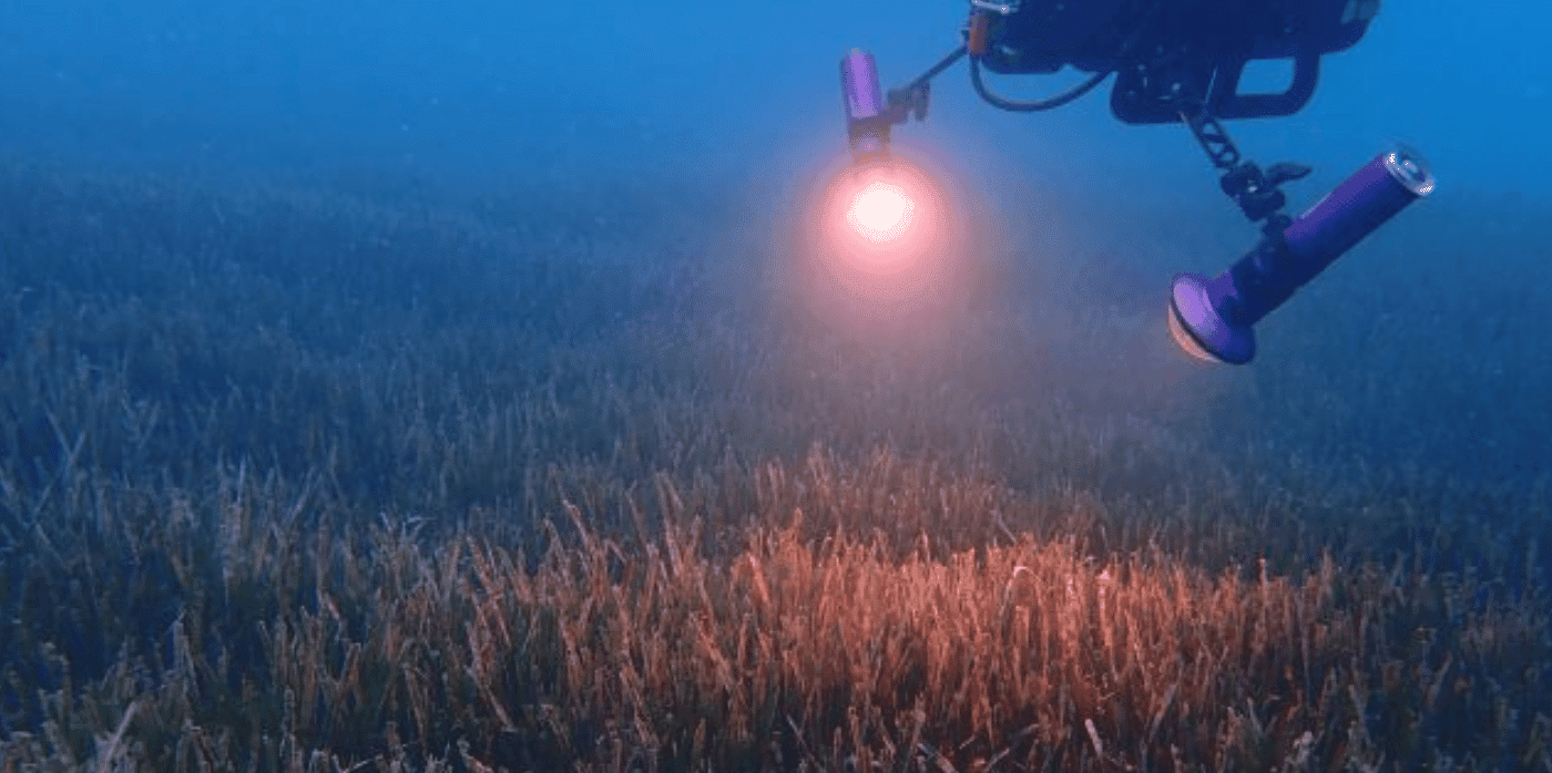
The company, which is a spin-out from The Max Planck Institute for Marine Microbiology, uses an innovative system of ‘underwater satellites’ to map the ocean floor and gather the data necessary to make progress in terms of ecosystem restoration. By combining hyperspectral imaging, satellite navigation, and artificial-intelligence-powered (AI) automated data processing, the company’s system can process map areas quickly, easily, and in great detail – including information on organism health. 

PlanBlue’s products include Orthoimagery, which provides detailed maps of seabeds; Coverage, which detects and distinguishes seagrass meadows; and Carbon Stock, which can estimate the quantity of carbon contained within seagrass meadows. 

In March 2023, PlanBlue was announced as one of the winners of the World Economic Forum’s Ocean Data Challenge, and the company is currently planning a series A funding round to help it establish data distribution centres worldwide.

In the archive, Springwise has also spotted the use of lasers to monitor underwater environments, as well as the use of turmeric to restore coral reefs.

Written By: Amanda Simms

Reference

Mapping asbestos with AI – Springwise
CategoriesSustainable News

Mapping asbestos with AI – Springwise

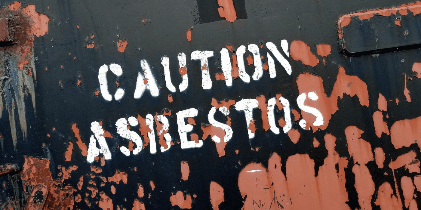
Spotted: Between 1991 and 2005 the European Union banned the use of all six types of asbestos in a series of directives. Today, we know that this building material, which was commonly used for flooring, roofing, and insulation, is deadly. In fact, the World Health Organization has estimated that asbestos causes 107,000 deaths worldwide each year due to lung cancer, pleural cancer, and asbestosis. 

One of the key challenges facing those working to remove the material is identifying where it has been used. In particular, the most common way of finding rooftops made of asbestos remains visual identification by a human expert – a method that is inefficient and costly given the scale of the problem. In response, researchers at the Universitat Oberta de Catalunya (UOC) have partnered with startup DetectA to develop an AI-powered system that can automatically detect asbestos rooftops using publicly available aerial images.

The project takes advantage of UOC’s depth of expertise in image analysis, computer vision, and machine learning. Researchers fed an algorithm a series of aerial images of rooftops – some with asbestos, some without. Through machine learning, this algorithm was ‘trained’ to make predictions about visual data it had not previously seen. The algorithm’s ability to identify the tell-tale characteristics of asbestos roofs improves as it is fed more images. In the words of lead researcher Javier Borge Holthoefer, “The more you train it, the better it gets.”

One of the main technical challenges when it comes to using artificial intelligence (AI) for asbestos detection is the vast amount of data that is needed to train the algorithm. This is where the use of public imagery can make a decisive difference. Similar attempts at automated asbestos detection have obtained sophisticated high-resolution aerial imagery at great expense. By contrast, the UOC-DetectA team used free images from the database of the Cartographic Institute of Catalonia. This approach has the potential to significantly reduce the cost of the technology.

The researchers will now conduct further testing using images of municipalities the AI has never seen. The team hopes to obtain proof of concept of the technology by late summer.  

Other machine learning and computer vision innovations recently spotted by Springwise include a real-time monitoring network for natural disasters, a startup that provides medical data for testing AI healthcare solutions, and computer vision used for fashion cataloguing. 

Written By: Matthew Hempstead

Email: detectamiant@gmail.com

Website: detectamiant.com

Reference