Satellites predict extreme weather in the tropics
CategoriesSustainable News

Satellites predict extreme weather in the tropics

Satellites predict extreme weather in the tropics

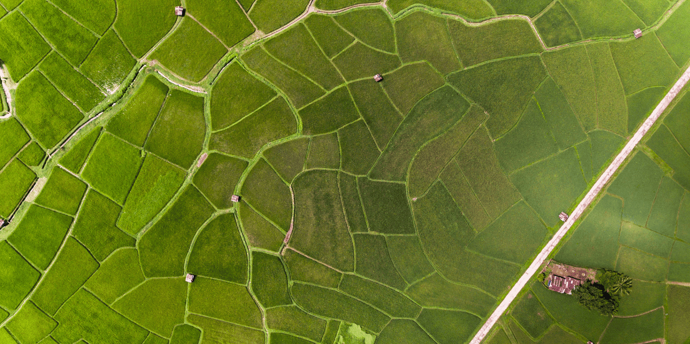
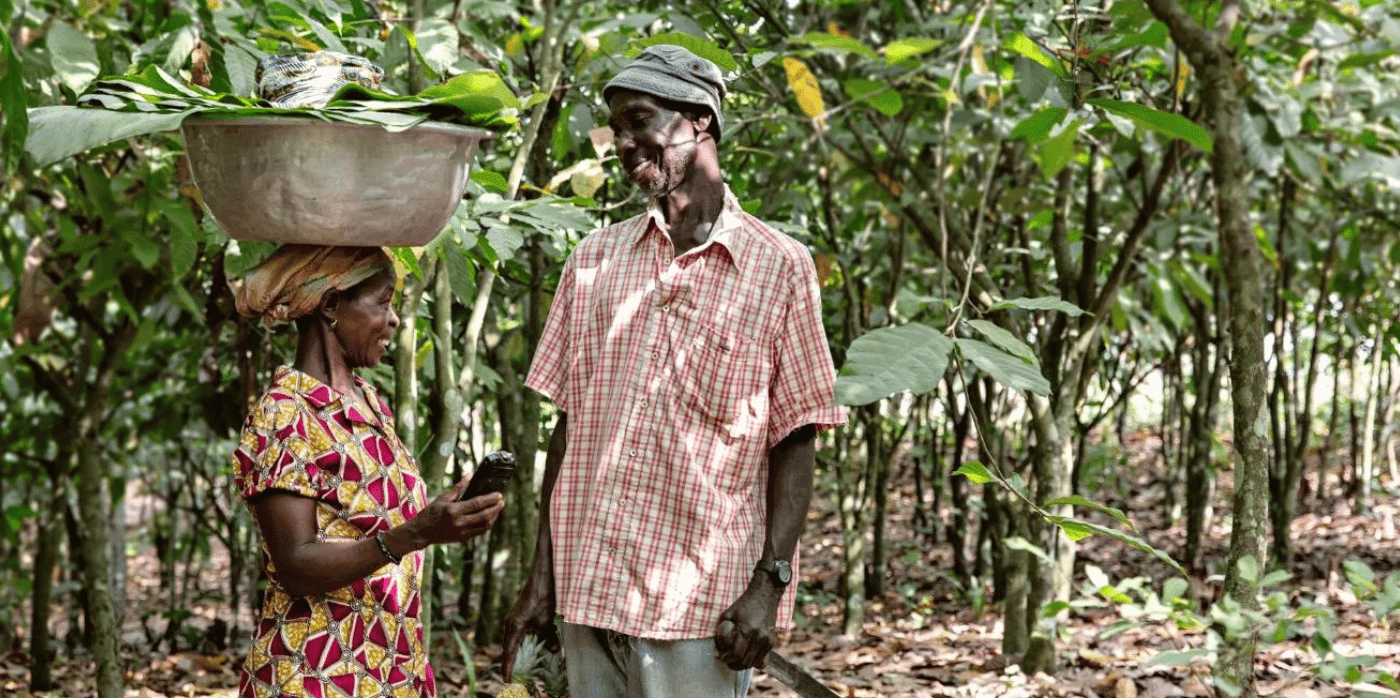
Spotted: Rainfall affects many aspects of a farmer’s work. Deciding when to sow seeds, where to pasture cattle and other animals, and when to harvest are some of the many daily, weather-dependent decisions farmers make. For smallholder farmers, a miscalculation leading to crop failure could severely impact an entire family’s health. 

For farmers living in the tropical regions of the world, forecasts are often of little help as rainstorms come and go quickly and can be very localised. Seeking to make weather forecasting more predictable for these regions, Swedish technology company Ignitia has developed a new method. The results are proving to be far more accurate than current global climate forecast models, something that Ignitia achieves by focusing on hyperlocal climates and analysis based on high-resolution satellite imagery. 

Ignitia’s forecasts are detailed enough to provide farm-level predictions, and because the company uses satellite data, they do not require information from ground stations – infrastructure that is frequently unavailable in tropical regions. For farmers, adjustments that range from when to move heavy machinery to when to hire additional workers have direct financial results.   

The startup’s insights are available in four different packages, starting with a mobile app for seven-day weather forecasts that include wind, heat, rain, and humidity for a three-kilometre area. Ignitia Smart adds in customised alerts for farm-specific needs, suggestions for possible actions, and rainfall predictions up to six months in advance.   

Ignitia API provides regular updates on the client’s platform of choice and allows larger producers, distributors, and others in the agricultural supply chain to better predict crop yield and forecast risks. The most substantial service the company offers is Ignitia Enterprise, gathering climate intelligence from multiple locations for business-wide insights and information for decision-making.  

Satellites are helping farmers in a number of ways, with innovations featured in Springwise’s library including using imagery to help unbanked growers access loans and to provide real-time yield predictions.

Written By: Keely Khoury

Reference

Satellites for agricultural risk and other sustainability challenges
CategoriesSustainable News

Satellites for agricultural risk and other sustainability challenges

Satellites for agricultural risk and other sustainability challenges

Spotted: This is a golden age of satellite technology – satellites are being used for everything from communication relays to weather forecasting, navigation, broadcasting, scientific research, and Earth observation. This last use is the focus of SatSure, a Bengaluru-based startup that combines satellite data and artificial intelligence (AI) algorithms to improve financial institutions’ understanding of the agriculture sector, among other applications.

The unpredictability of crop yields adds uncertainty to agriculture credit underwriting and monitoring, which in turn leads to high transaction fees and reduced access to credit for farmers – especially smallholder farmers. To solve this, SatSure has developed SatSure Sage, a platform and a suite of applications that provide accurate data to assist lending institutions in making and managing agricultural loans.

The data that underpins SatSure’s analytics comes from satellites. These provide detailed geographical and climate records and remote sensing information. This data is then analysed by SatSure’s AI and machine-learning algorithms and distilled into clear risk measurements for a variety of uses.

For instance, another of the company’s offerings, SatSure Skies, can be used for infrastructure planning to understand potential environmental risks or for renewable energy projects to identify optimal placements of solar installations. SatSure Sparta analyses crop health and yield, which can be used by financial institutions to identify farm-level risk or by businesses looking to optimise their supply chains.

SatSure is not the only company to use satellite-derived data to help financial institutions make more informed decisions. In the archive, Springwise has also recently spotted platforms that measure grass from space and monitor ecosystem restoration.

Written By: Lisa Magloff

Reference

Harnessing satellites for sustainable travel   - Springwise
CategoriesSustainable News

Harnessing satellites for sustainable travel   – Springwise

Harnessing satellites for sustainable travel   - Springwise

Spotted: When we talk about sustainable tourism, we often think first and foremost about environmental issues. But sustainable tourism is about much more than that. It brings together all aspects of sustainable development, including social and economic issues. According to social enterprise Murmuration, It’s about maintaining a “spirit of the place that values ​​the geographical characteristics of a destination through its biodiversity, its cultural wealth, its heritage, and the well-being of its residents.”

Based in France, Murmuration is focused on sustainable tourism and has recently announced the launch of Flockeo – a community platform that allows travellers to choose sustainable destinations.

The Flockeo platform is inspired by the European Commission’s ETIS indicator system, which assesses the sustainability of tourism destinations. By combining satellite and statistical data, Flockeo provides users with information on environmental, social, and economic indicators. This data can be used to evaluate the sustainability of a destination and make informed decisions about where to travel. With this information in hand, Murmuration aims to work together to build a more sustainable future for tourism.

Perhaps most importantly, satellite data can be used to monitor progress over time and ensure that sustainable tourism practices are actually having the desired effect. Without this crucial information, it would be much more difficult to make the case for sustainable tourism on a global scale. Thanks to satellite data, Flockeo is able to provide a clear picture of the challenges and opportunities that exist in certain areas.

In addition to providing data on sustainable destinations, Flockeo also offers an interactive map for users who want to learn more about the destinations that interest them. The map provides a wealth of information about each region, including the ecosystem potential and the risks related to water and urbanisation. The map is also colour-coded so users can quickly assess the impact of human activities on each region.

Other recent sustainable tourism innovations spotted by Springwise include a route planning platform for green and cost-effective travel, a plugin that makes it easy for booking agents to serve disabled travellers, and a climate tool that connects digital checkouts with carbon offsetting.

Written By: Katrina Lane

Website: murmuration-sas.com

Contact: murmuration-sas.com/en/contacts

Reference